| MENU
BACK FORWARD VISUALS CHRYZODE |

The map useful adresses |
........SOUTH OF THE FRENCH ALPES |
| MENU
BACK FORWARD VISUALS CHRYZODE |

The map useful adresses |
........SOUTH OF THE FRENCH ALPES |
Here we have the warmest mountains, thanks to a lot of sun, the purest sky and the healthiest air in the Southern Alpes.
We also find cultivated lands, villages high up (like Saint Véran - 2040m - the highest village in Europe), magnificent larche forests and compact massifs with complicated shapes.
In the villages, the houses built all in height, half-stone half-wooden, are often adorned with splendid sundials made by some itinerant artists in the 18th and 19th centuries. These ones signed them with little dedications in French or in Latin as:
"Without the Sun, I am nothing and you, without God, you can nothing".
CHATEAU-QUEYRAS In the 17th and 18th centuries, the feudal castle in Chateau-Queyras high up above Chateau-Villevieille was completely reconstructed keeping some old elements.
THE ECLIPSE IN ABRIES 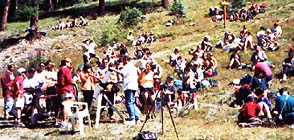
August 11th 1999 - up the Gilly chair liftH I K I N G
The GR 58, very well equipped with refuges goes around the Queyras.
It is linked to the GR 54, around the Oisans, by the GR 541
that follows the Freissinières valley.
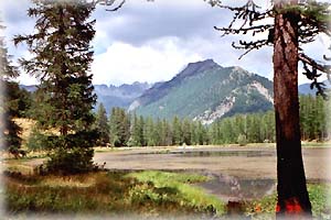
Lac Vert
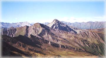
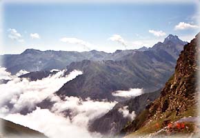
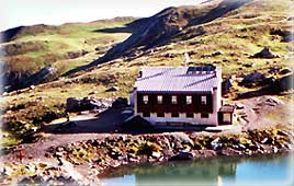
The Lago Verde refuge in Italia
accessible through the Saint Martin pass.
FROM GRAND BELVEDERE TO MONT VISO If from the Grand Belvédère (about 1h30 hiking from Roche Ecrasée above Abriès) you feel like getting higher, you can walk as far as the Mont Viso, the highest point of the Queyras massif, stopping somewhere at the Viso refuge. In summer, when ice has melted, the small tunnel which leads to Italia is accessible. It takes 3 or 4 days to hike all around the Mont Viso.
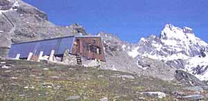
The Viso refuge
The Mont VisoTO SEE, TO DO...
A FEW GOOD ADRESSES
ride, rafting, accomodation, camping, crafts, etc.
FOR FURTHER INFORMATION
tourist information and promotion office
and
Parc Naturel Régional du Queyras
Route de la Gare 05600 Guillestre
tel: 33 (0)4 92 45 06 23
the National Park on a regional basis siteThe most of these beautiful pictures are from Angélique